PerchPoints
Find a place.
Photographs, location notes, and directions.
Explore the map →A personal photo archive became a map. Flyways connect the places into journeys you can take.
Where it begins
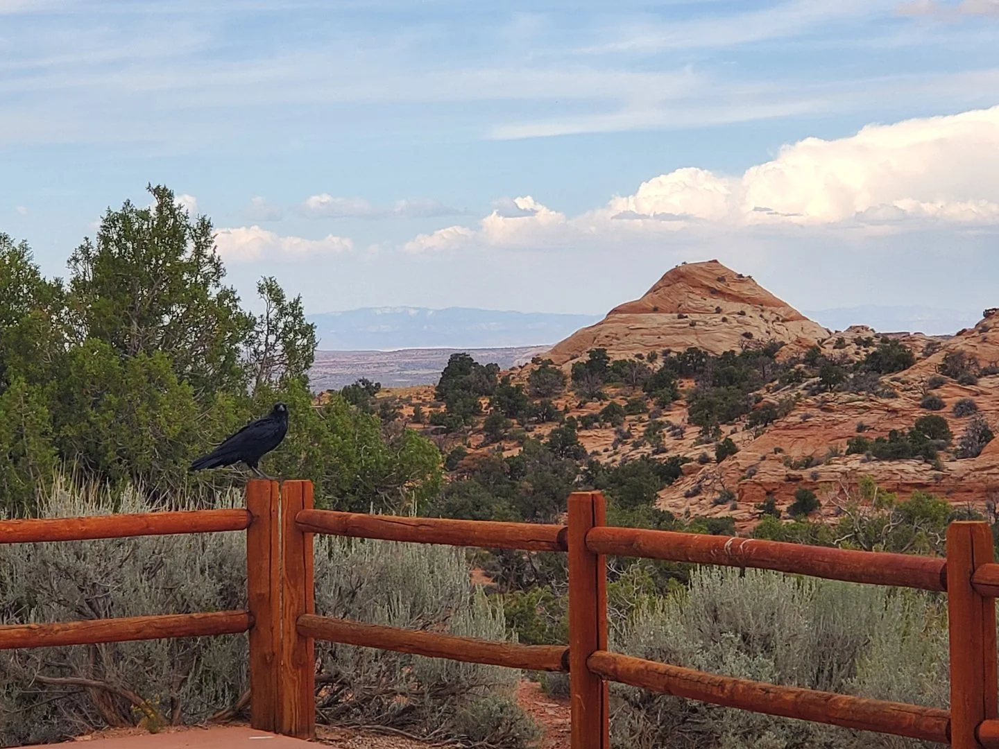
Every PerchPoint starts with a photograph I took. Images from one outing stay together; the map pin marks the practical approach. Text-only attractions are labeled separately.
Sometimes a photograph, a few honest words, and a useful link are all a place needs.
How the pieces fit
PerchPoints
Photographs, location notes, and directions.
Explore the map →Flyways
Road trips with time for driving, exploring, and sleeping.
Choose a Flyway →RoostAtlas
Camping records to help research each night.
Open RoostAtlas ↗Created and edited by
Part of my wider project sharing photographs, journeys, and places worth remembering.
Built and stewarded by
My web practice, through which I build and care for the atlas.
Visit Raven Rendering ↗